How to Paddle the South Fork River on the 11 Mills Blueway
- Melissa McCauley

- Apr 20, 2022
- 3 min read
Updated: Jul 14, 2023


What is the 11 Mills Blueway
The 11 Mills Blueway is Gaston County’s premier blueway initiative, encompassing both the Catawba River and its South Fork. Along the way paddlers will find places to launch their boats, equipment rental as well as eateries and breweries to stop and relax.
SOUTH FORK RIVER
A long paddle that will take you almost 9 miles down the South Fork River where you will witness both a beautifully protected shoreline and signs of Gaston's past in the textile industry with plenty of places to stop at parks, restaurants, and breweries along the way.

1 Spencer Mountain Boat Launch
STARTING POINT 261 Stanley Spencer Mtn. Rd., Spencer Mountain, NC 28056
Depending on water levels, the most challenging sections of whitewater between your launch at Spencer Mountain. Make your first stop 3.5 miles downriver at South Fork Blueway Boat Launch.
A pass is required to use the Spencer Mountain River Access
Call 704-342-3330 x 209
Allow 3 days for processing

2 South Fork Catawba River Boat Launch
5.5 Miles | 2 Hours
199 Willow Rd., McAdenville, NC 280563
Pull ashore on river at the South Fork Blueway Boat Launch. Grab a picnic table or bench and watch other paddlers float by. There’s a one-mile loop trail through the forest that you can hike before getting back on the river.
It’s another 2.5 miles to the R.Y. McAden Access on river right, just after you paddle under a soaring train trestle and busy highway bridge, the most visible signs of civilization you’ll come across during your trip. The launch is also the trailhead for the South Fork Trail that follows the South Fork for two miles to connect downtown McAdenville with the Town of Lowell. Along the trail, you’ll find remains of two textile mills that operated along the river in the mid-1800s.

Adam Springs Portage Trail
450 feet Portage around the McAdenville Dam
Returning to your boat, you’ll immediately paddle river left to take out at the Adam Springs Portage Trail just 450 feet downriver. It’s a short portage around the McAdenville Dam on a well-marked trail to continue past downtown McAdenville to South Fork Village.

3 South Fork Village Boat Launch
1.5 Miles | 30 Minutes 2000 Rivers Edge Dr., Belmont, NC 28012
Just over a mile from your last take-out, you’ll come to the South Fork Village launch on river left. Secure your boat at the launch and hike up the hill to District 8 Beer Company, where they stock close to 100 craft beers from all over the U.S. While the nearby Sun’s Up Scuba is a full service scuba shop for certification, guided trips, and the latest gear, it also offers boat rentals to get you out on the water at the South Fork Village launch. You can make this you’re point of entry for starting a paddling trip as well.

4 Cramerton and Goat Island Park
1 Mile | 20 Minutes 137 & 141 8th Ave., Cramerton, NC 28032
Paddle another mile downriver to the Town of Cramerton, the best spot along the blueway to grab a bite to eat. As you enter town, you’ll see a footbridge crossing over the South Fork and launches on both sides of the river. Take out on either side to explore downtown.
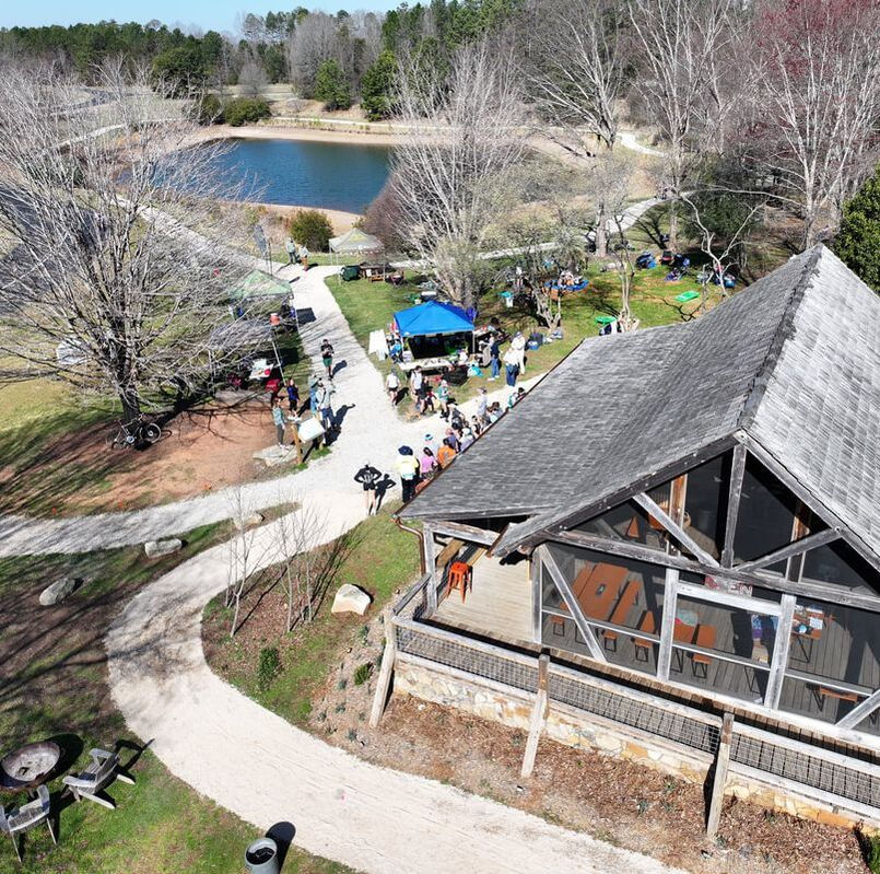
Across the footbridge from downtown is Goat Island Park, a public park on a small island that used to be maintained by goats that were released on the island back in the early 1900s by textile engineer Stuart Cramer to control vegetation. Now, the forest and natural habitat has returned, making this stretch of the blueway an ideal spot to launch. In the evening, you can listen to the owls hooting in the thick trees lining the river. Play a round of disc golf on Goat Island’s 18-hole course, walk the paved .7-mile greenway trail, or turn the kids loose at the playground. There’s a fitness pavilion, fenced dog park, and amphitheater where the town hosts concerts and special events.
Cross the bridge to downtown for a lunch stop at Mayworth’s Public House, a local favorite for salads, burgers, and tacos. A couple doors down, Doffer’s Canteen serves quesadillas, rice bowls, tacos, and sandwiches in portions you’ll probably struggle to finish. Even if you leave the restaurant full, make a stop at Floyd & Blackie’s down by the river for an ice cream cone on your way back to the launch. Floyd & Blackie’s is also home to The Floating Goat, the spot to rent a canoe or kayak if you don’t have your own gear.

5 Riverside Park and Greenway
1 Mile | 20 Minutes 75 Riverside Dr., Cramerton, NC 28032
The final 1.5-mile stretch of the South Fork Greenway takes you to Riverside Park. Pull your boat out to walk the 1.2-mile greenway, or continue paddling to the blueway’s final access point at the foot of Cramer Mountain. This end of the blueway connects to some of Cramerton’s oldest neighborhoods, including the historic Baltimore community.